Tham Pha Thai National Park
he 1284 square kilometers park comprises of rugged mountans in the north-eastern Lam Pang province, covering 9 forest reserves in Ngao, Lam Pang, Mae Moh and Chae Hom districts. The north-south limestone hills run down until they reach Lam Pang city district, the elevations being in the range of 280 to 1253 meters above the sea. The highest peak is Yod Doi Mae Khwan at 1253 meters located in the north of the park close to the border with Phayao province.
Average year round temperature has been 25º C, and that of January is 5º C. May to October is rainy season followed by cold months from November to January. Then comes the dry summer season.
Interesting places in the parks
Tham Pha Thai cave is in the walking distance from the park headquaretrs. The cave goes under ground more than one kilometer from its entrance. A lot of stalactites and stalagmites are found inside.
In Ngao district, around 6 km from the Ban On village, people can hike up to Lhom Phu Kaew which has a crater that makes the mountain looks like a volcano.
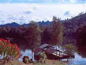
Kiw Lom dam lake on Vang river offers boat excursion, and raft houses to stay. The lake is around 34 km north of Lam Pang city.
In adition, there are several more waterfalls, caves, and places where pre-historic artifacts have been found in the park. The park is welknown among local people.
How to get there
From Lam Pang take highway 1 to the north for about 65 km to the left turn-off road to the park headquarters.
The park maintain a couple of bungalow houses and a camp yard.
No comments:
Post a Comment